See the big picture to know the details.
GIS & Spatial Services
Elevating your view and your project.
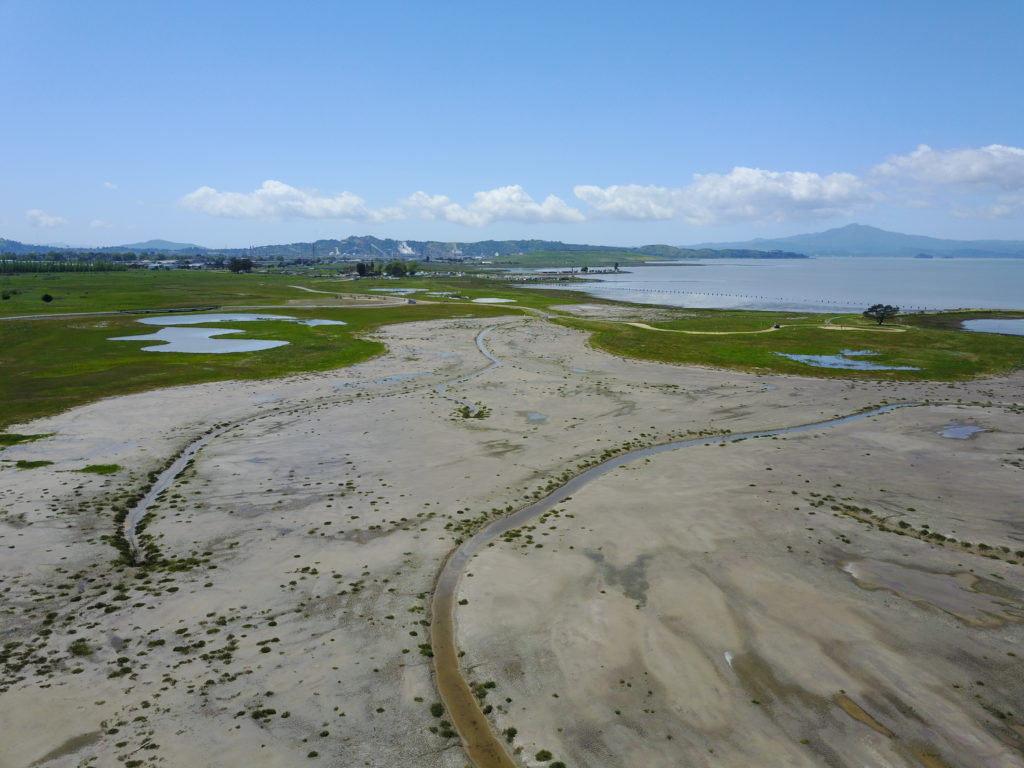
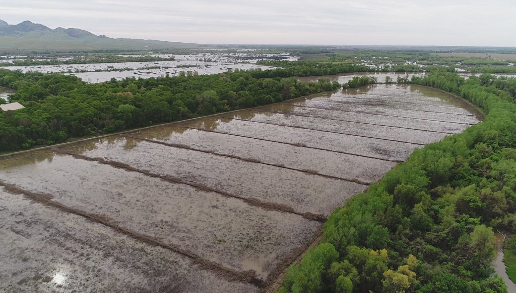
To deliver the highest level of spatial problem solving, both literally and figuratively, bring in our dedicated GIS team. In support of every service we offer, our Certified GIS Professionals (GISP) provide context and insights within real-world imagery.
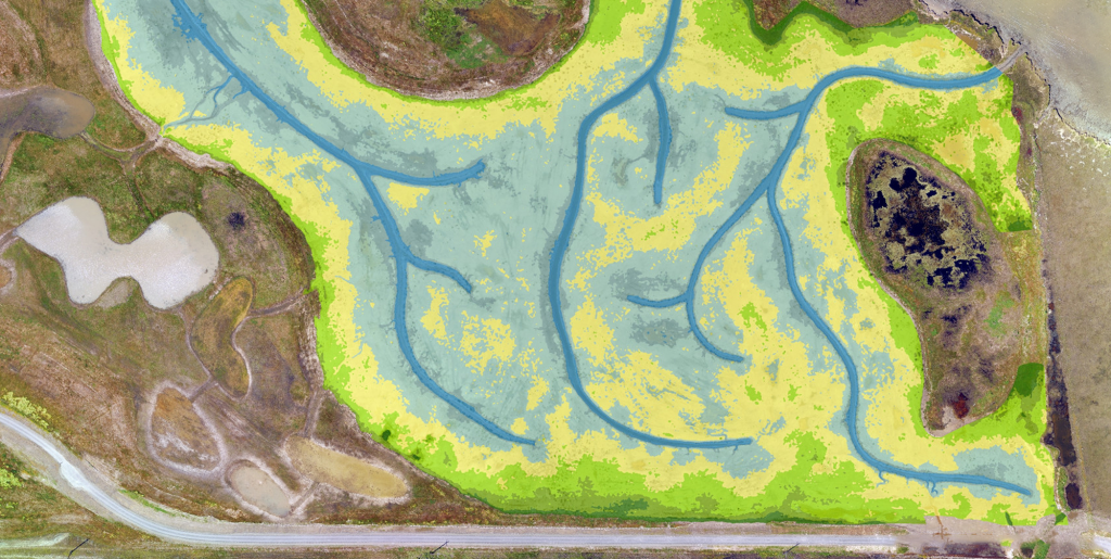
We are the map nerds you need, industry certified by numerous specialized software platforms including the full suite of Esri’s ArcGIS. We bring our technical expertise to the table providing not only a better view but a deeper and more holistic understanding of your project. And as your report figures will be under a microscope, we help tell your project’s great story through attractive and informative maps. They say a picture is worth a thousand words!
GIS Expertise:
- Advanced Spatial Analysis
- Spatial Data Management and Enterprise GIS
- UAV (Drone) Operation and Data Acquisition
- Custom GIS Workflows, Models and Tools
Even when things get messy, we have the tenacity to push through. We offer niche services with an integrated team of experts to tackle even the most challenging environmental issues.
Get An Expert Opinion
We’re here to lend our expertise and help you achieve your goals.


Want to Learn More?
Download our brochure to learn more about our work, our impact, and what makes WRA a great place to work.


