Our Projects
Bolinas Lagoon Wye Wetlands Restoration Project

Goal
Restoring floodplain connectivity, enhancing fish passage, reducing roadway flooding, and improving coastal resilience at a wetland of international importance.
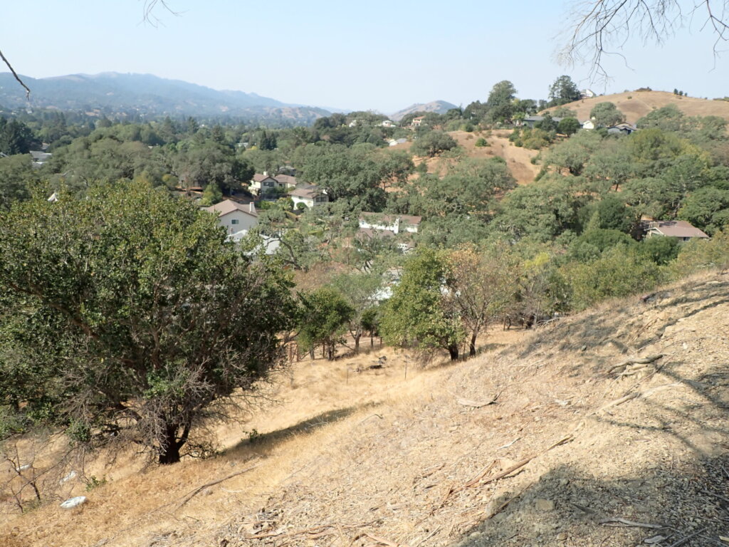
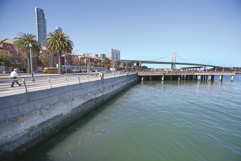
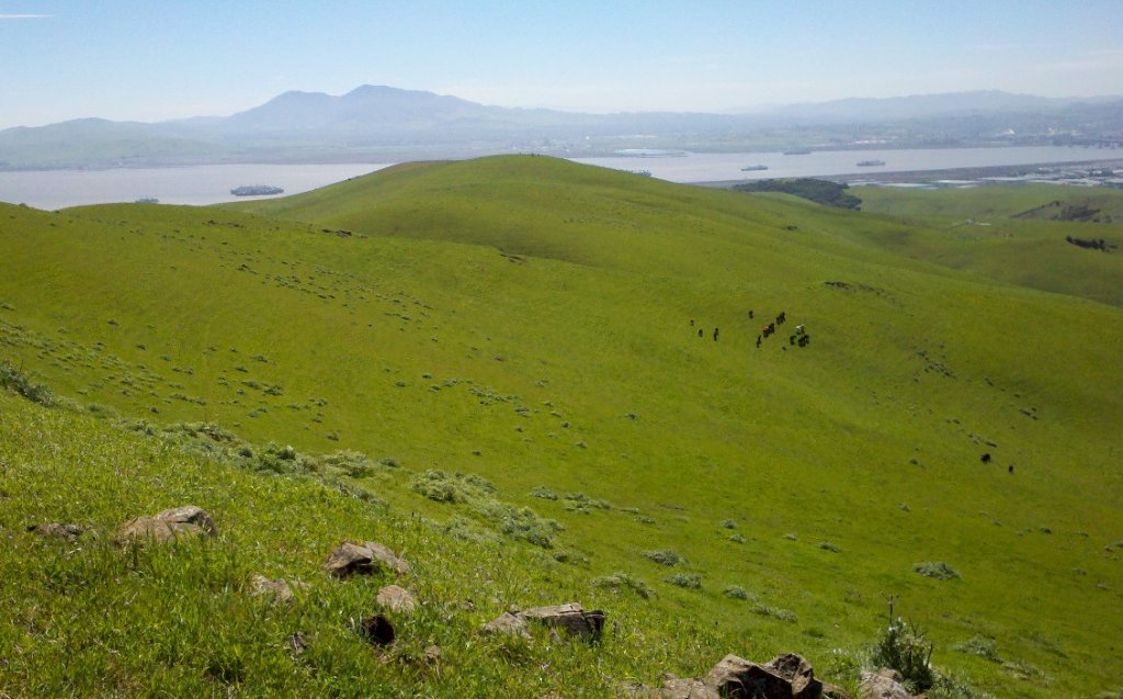
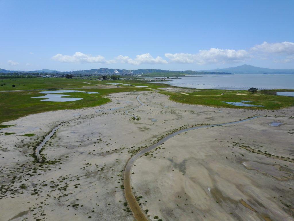
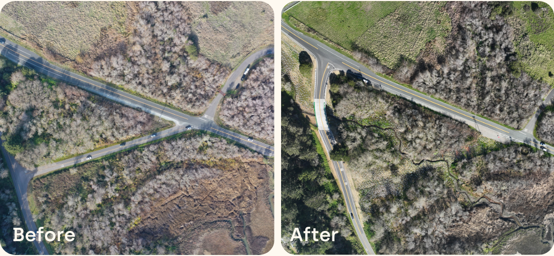
The Bolinas Lagoon tidal estuary is a 1,100-acre Ramsar wetland of international importance located in Marin County. The project focused on restoring Lewis Gulch Creek and the wetlands area at the northern tip of the lagoon. Goals for this grant-funded project were to connect the creek to its floodplain and restore the functions of the historic alluvial fan, enhance fish passage, provide for sea-level rise resilience, reduce roadway flooding, and improve traffic safety on California State Route 1 at the intersection with Olema-Bolinas Road following the removal of the Crossover Road (Fairfax-Bolinas Road).
Together, these goals supported a multi-benefit approach that restored ecological function while addressing long-standing flooding, access, and public safety challenges in a highly constrained coastal setting.
Approach
An integrated, science-driven approach combined a collaborative process with stakeholders with nature-based design, climate resilience, and streamlined permitting.
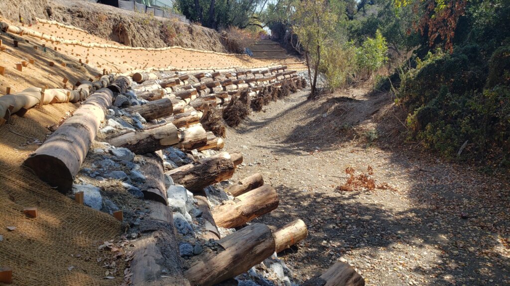
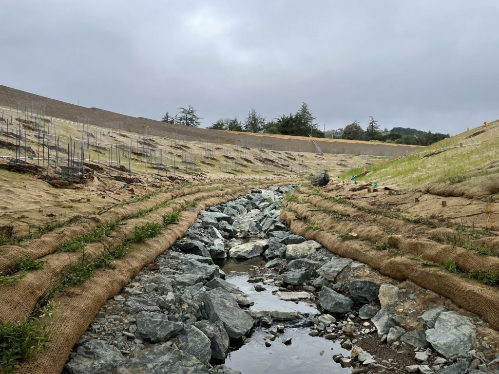
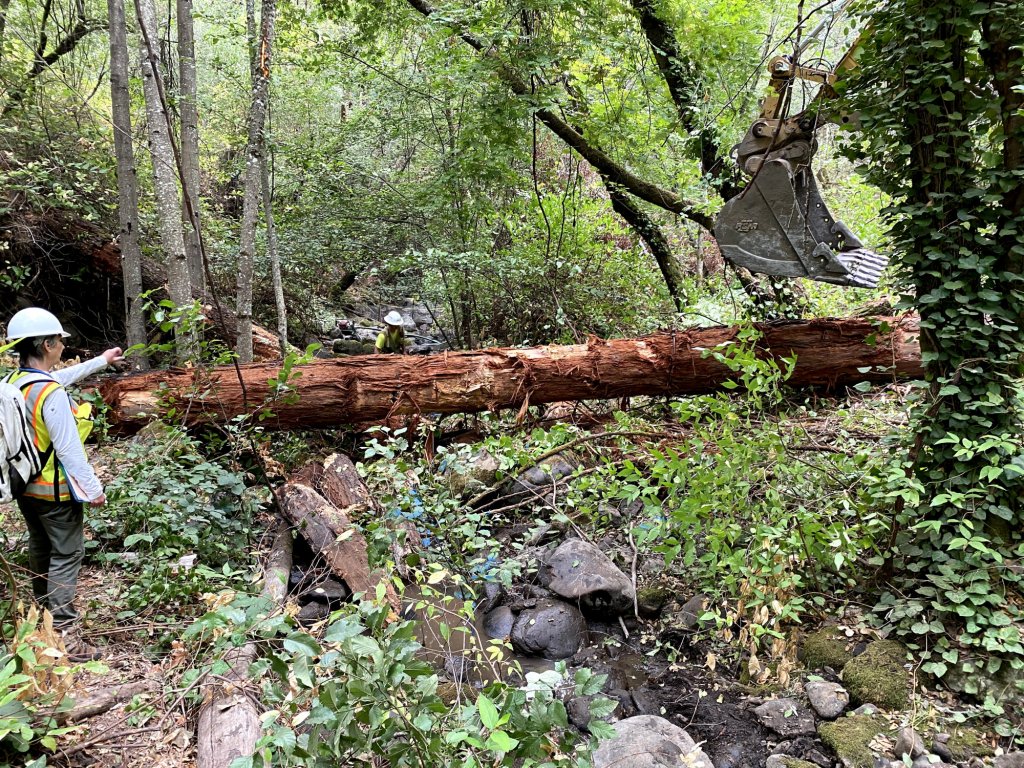
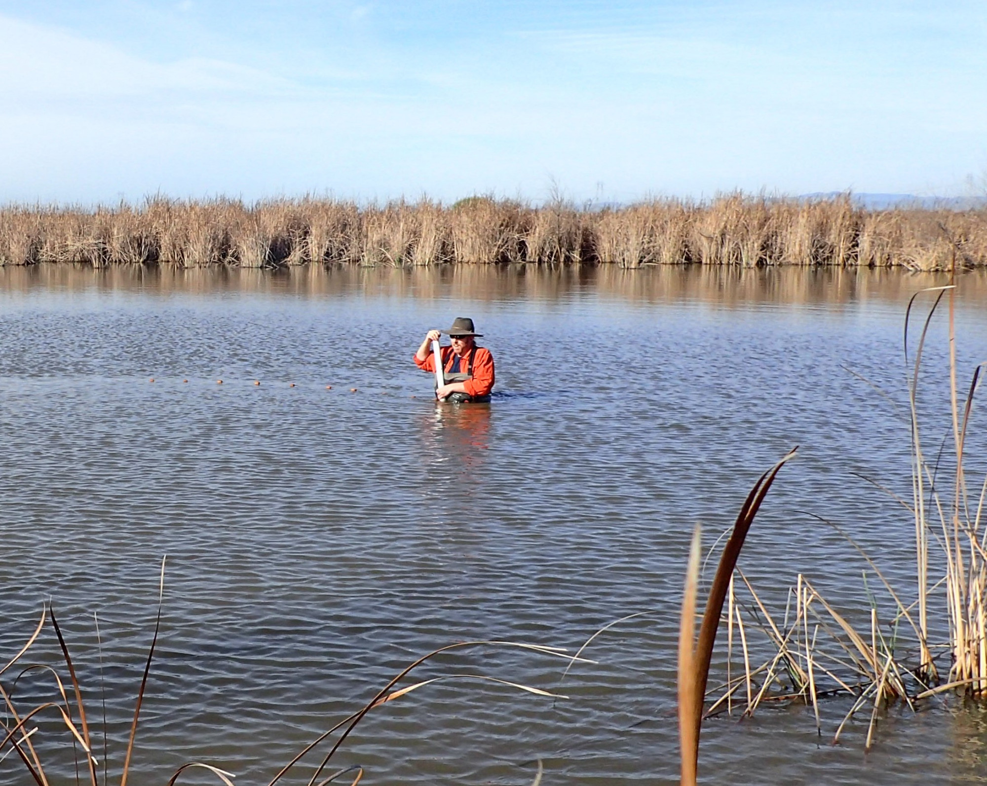
WRA was responsible for hydraulic modeling and analysis using HEC-RAS, alternatives analysis during the pre-design phase, creek restoration design, and oversight during project implementation. Restoration elements included a log and vegetated soil lift-based bank protection structure at a creek bend close to Highway 1, a new creek alignment with log structures to promote floodplain utilization and fish passage, abandonment of a former creek bed, removal of a road and restoration into marsh habitat, and native landscape design for multiple hydrologic zones. WRA prepared biological and wetlands assessments in support of design and permitting. Design development was informed by extensive technical modeling, environmental and cultural studies, and a years-long public and agency engagement process led by Marin County Parks.
WRA was responsible for CEQA and environmental compliance services and coordinated closely with the County and One Tam on the design and permitting strategy. WRA employed a collaborative permitting approach to streamline regulatory review with a programmatic Section 7 and Coastal Zone regulatory review using advanced approvals developed by the NOAA Restoration Center.
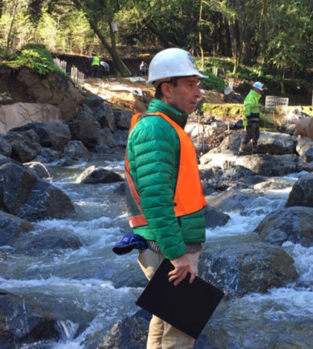
WRA supported the project through construction, ensuring restoration, planting, and infrastructure elements were implemented in alignment with hydraulic, geomorphic, and ecological performance goals.
Impact
Restoration of tidal and floodplain habitats delivers fish passage, climate resilience, and safer public access.
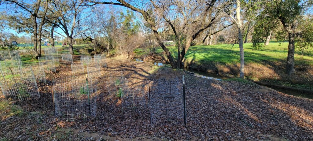
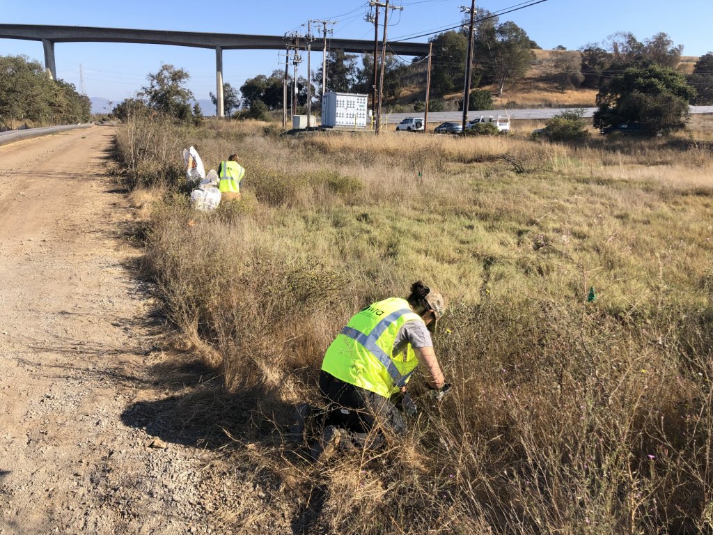
Project implementation included the installation of approximately 10,000 native plants across riparian, tidal, floodplain, and upland transition zones, supporting long-term habitat establishment and ecosystem resilience.
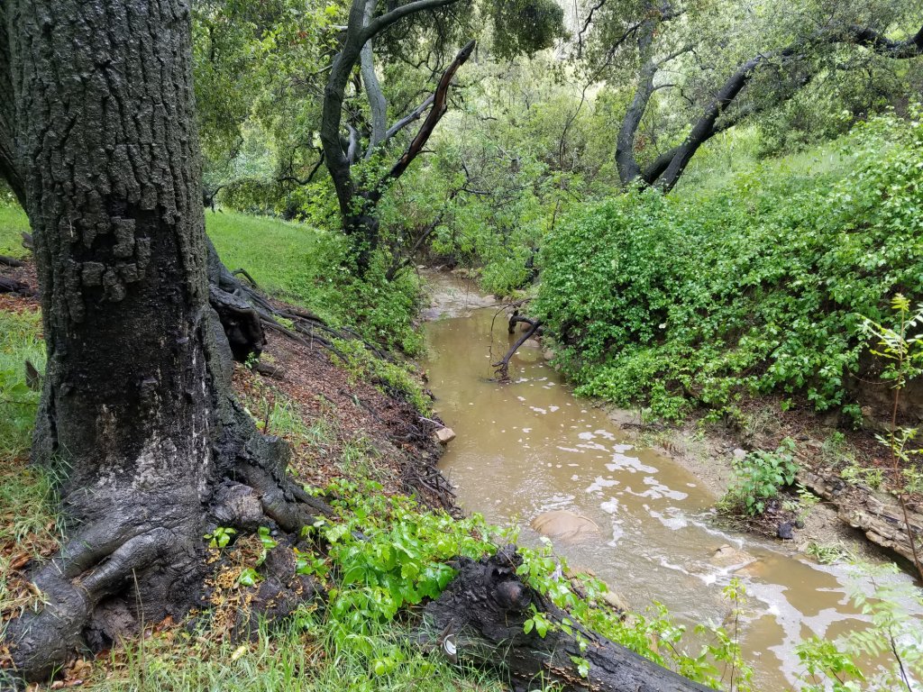
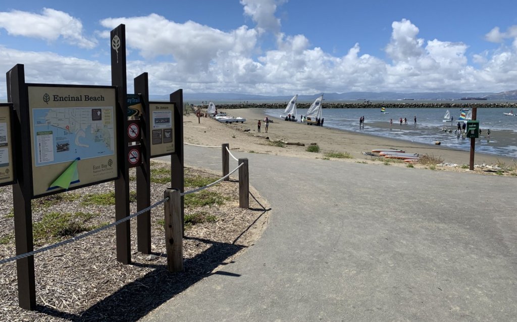
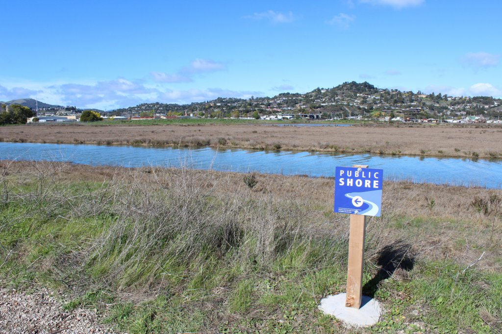
The completed project restored migratory pathways and rearing habitat for threatened steelhead (Oncorhynchus mykiss) and endangered coho salmon (Oncorhynchus kisutch), enhanced groundwater connectivity, and substantially improved traffic safety and public access along a roadway that was historically prone to flooding.
In the coming years, WRA biologists will closely monitor plant establishment to ensure the project’s ecological goals are met.
Experts
Hope Kingma
Biology & Regulatory Permitting Director
Jake Kramarz
Hydrologist
Bridgette Medeghini, EIT
Restoration Engineer
Nick Brinton-McBean
Fisheries Biologist
Erik Schmidt
Restoration Permitting Specialist

Sundaran Gillespie, GISP
GIS Analyst
Project Specifics
Project Partners
Status
Detailed Services
CEQA and environmental compliance
Creek restoration design
Hydraulic modeling and analysis
Native landscape design
Regulatory permitting
See how we’re making a positive lasting impression.