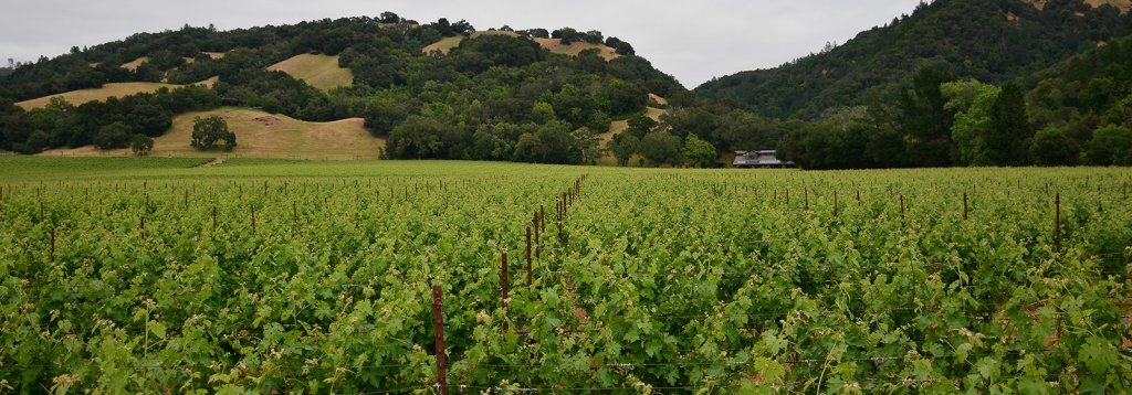
Our Projects
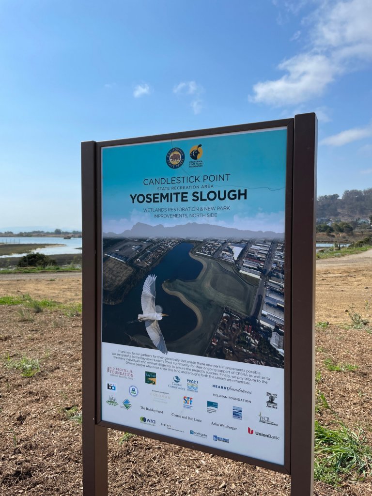
Yosemite Slough Restoration and State Park Improvements
Goal
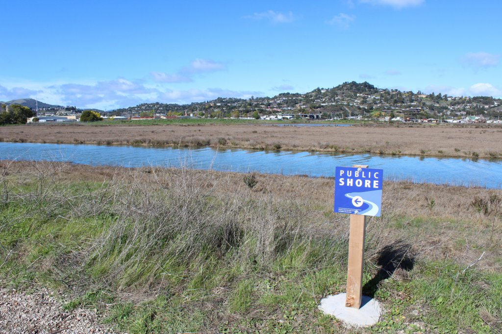
The project goal is to restore tidal marsh habitat, improve public access amenities, and extend the SF Bay Trail.
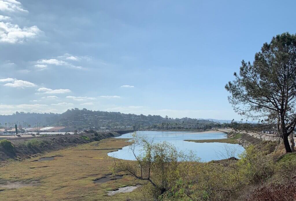
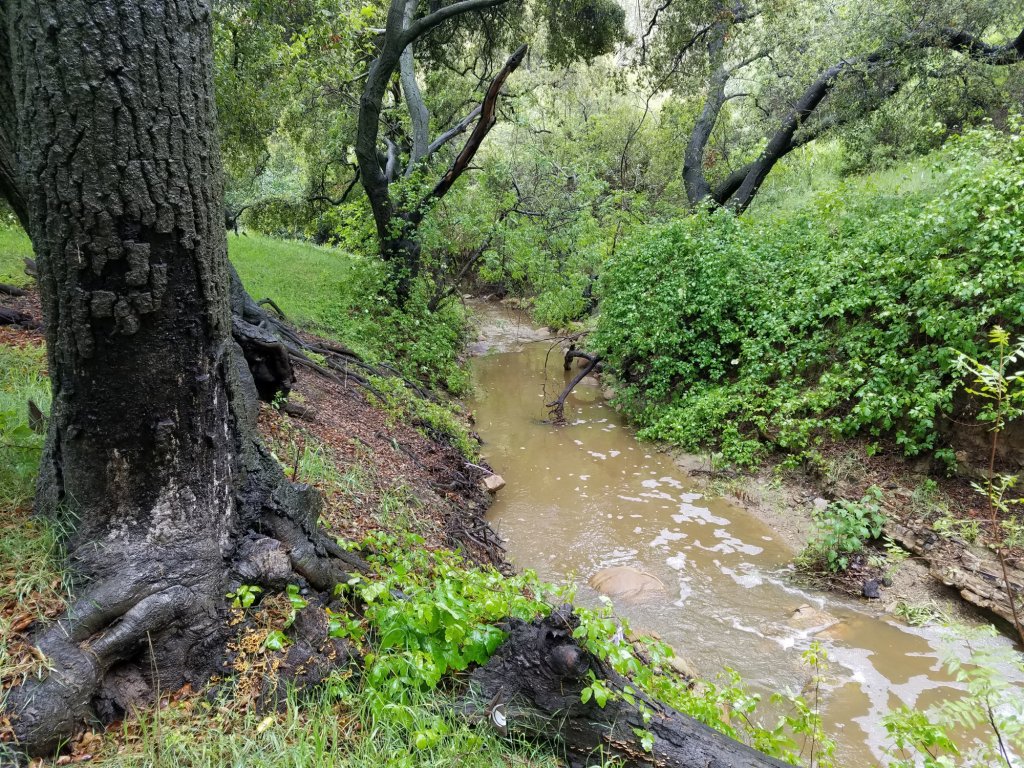
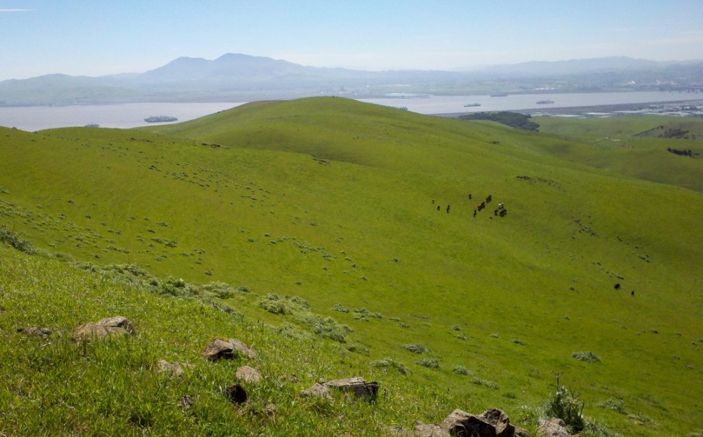
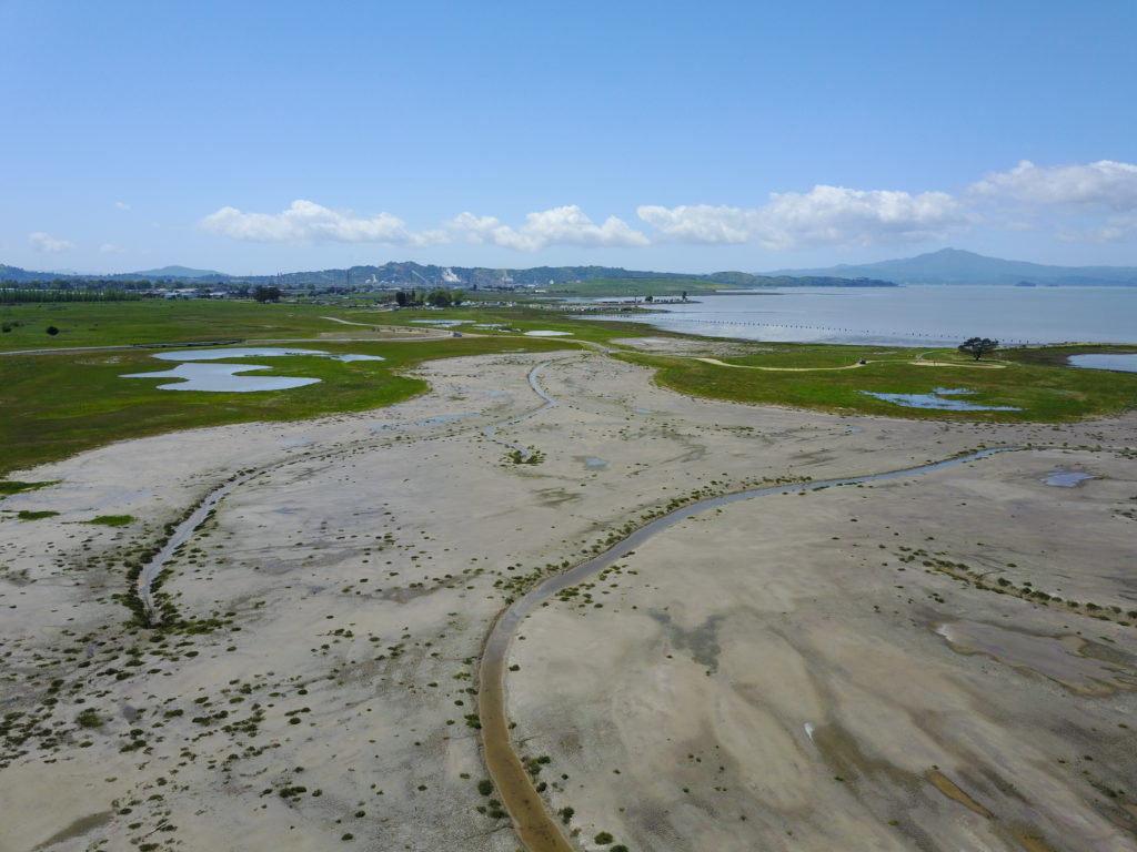
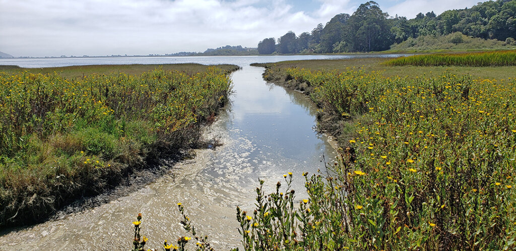
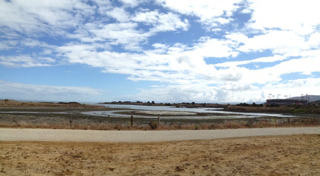
Yosemite Slough is part of the Candlestick Point State Recreation Area, one of the only urban parks in the State Parks system. The project comprises a restored tidal marsh and a new public park which required extensive fundraising efforts led by the California State Parks Foundation.
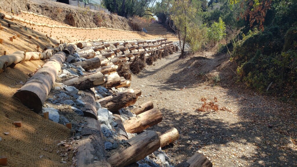
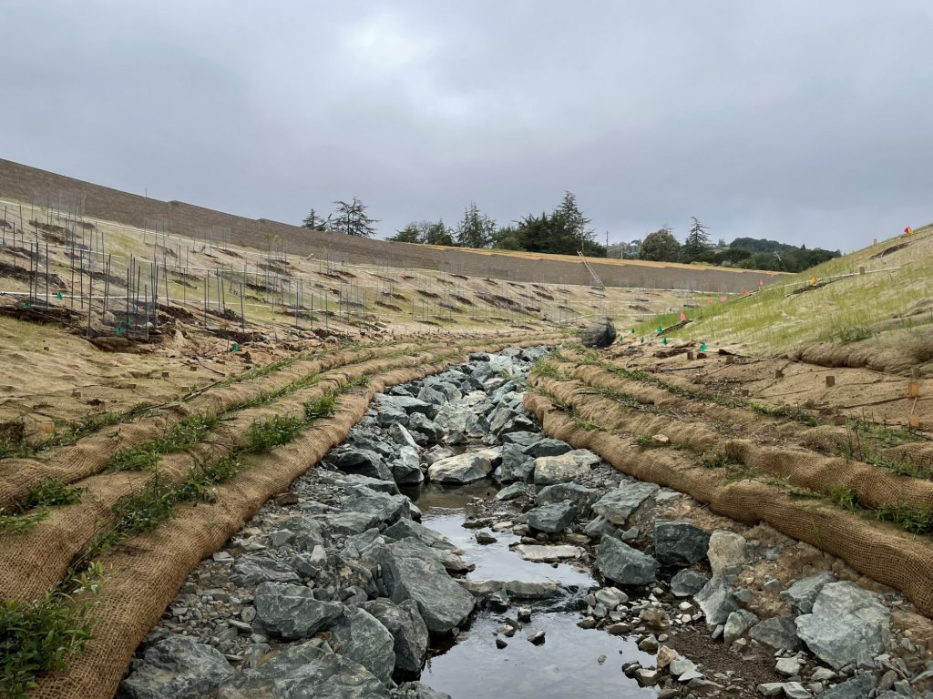
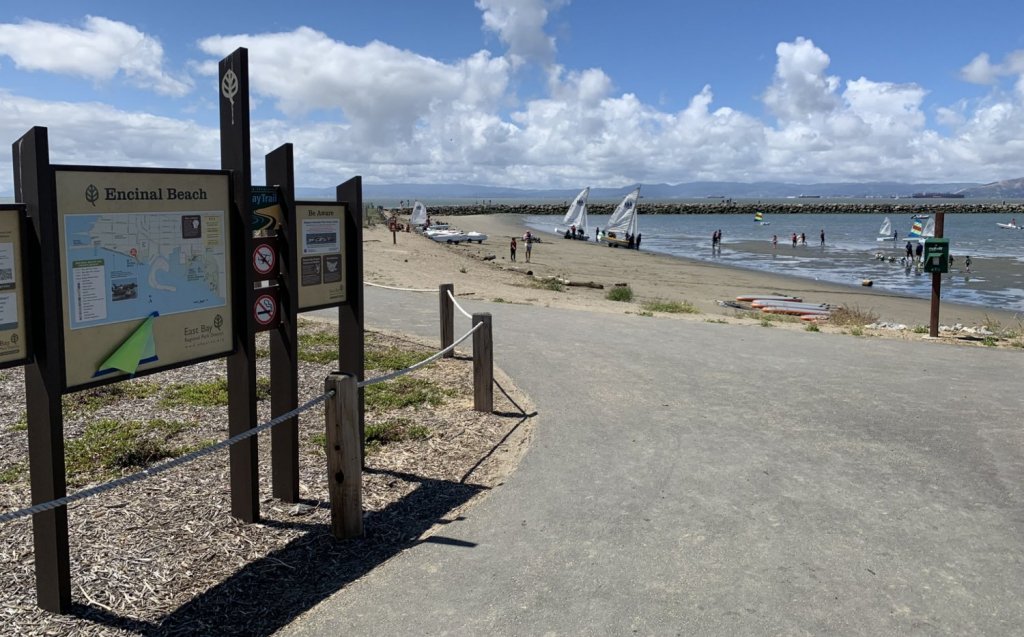
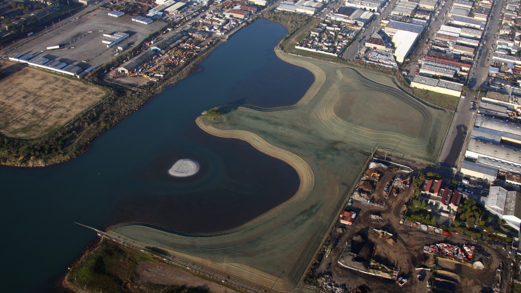
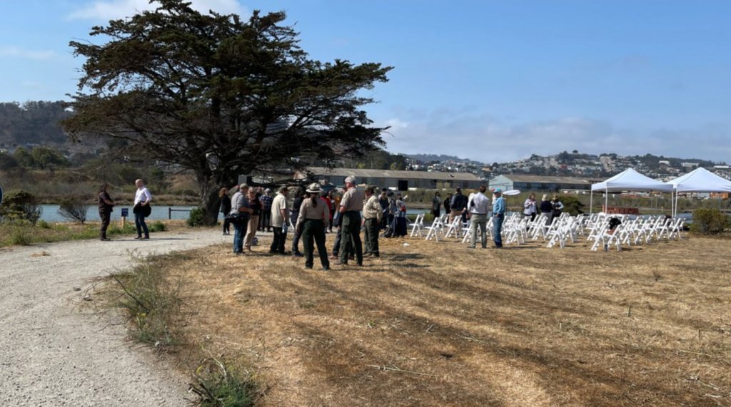
Completed portions of the project include restoration of 10 acres of tidal marsh habitat, remediation of contaminated soils throughout three acres of wetlands and park land, creation of a new park entrance and public access amenities, and extension of the San Francisco Bay Trail.
Approach
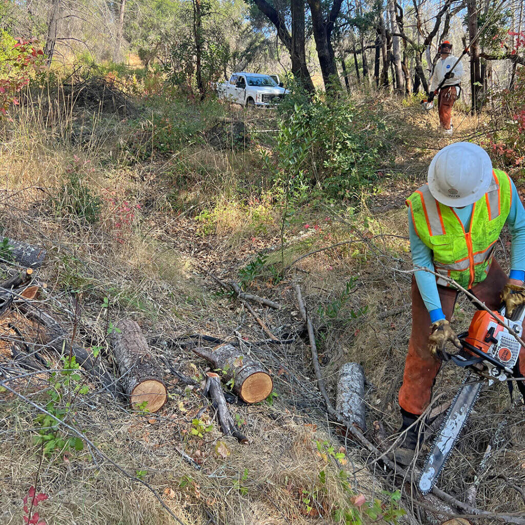
WRA managed and led design of the tidal marsh restoration and park improvements, acquired regulatory permits, and conducted biological studies.
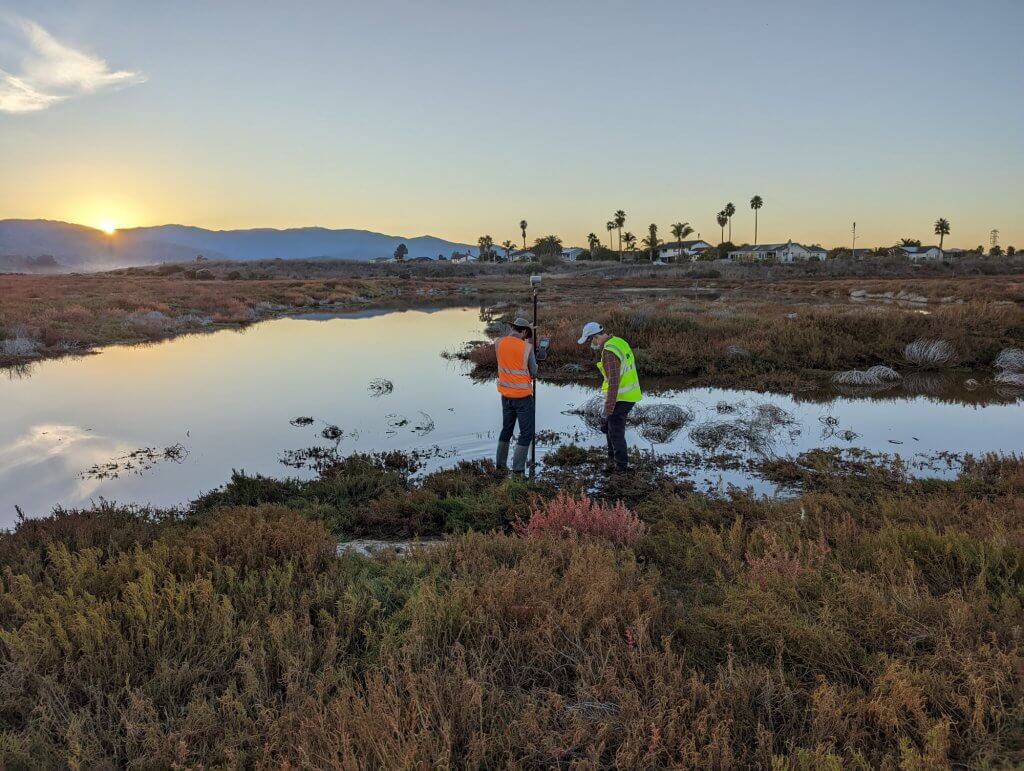
For the tidal marsh restoration portion of the project WRA served as the project manager, led the restoration design, and was responsible for the acquisition of regulatory permits. WRA worked with a hydrologist to conduct an analysis of the potential effects of sea-level rise on the project and developed adaptive management strategies to ensure resilience.
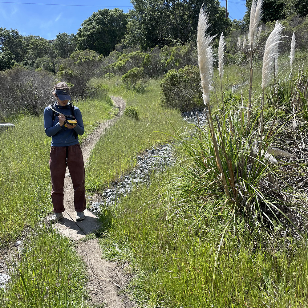
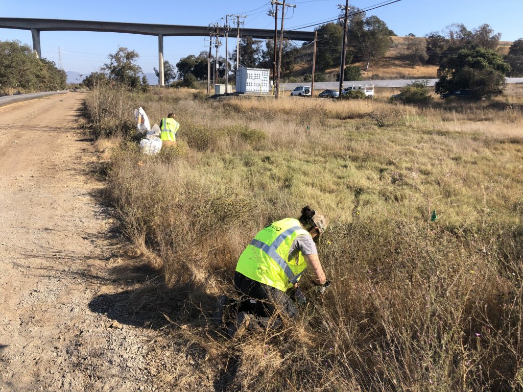
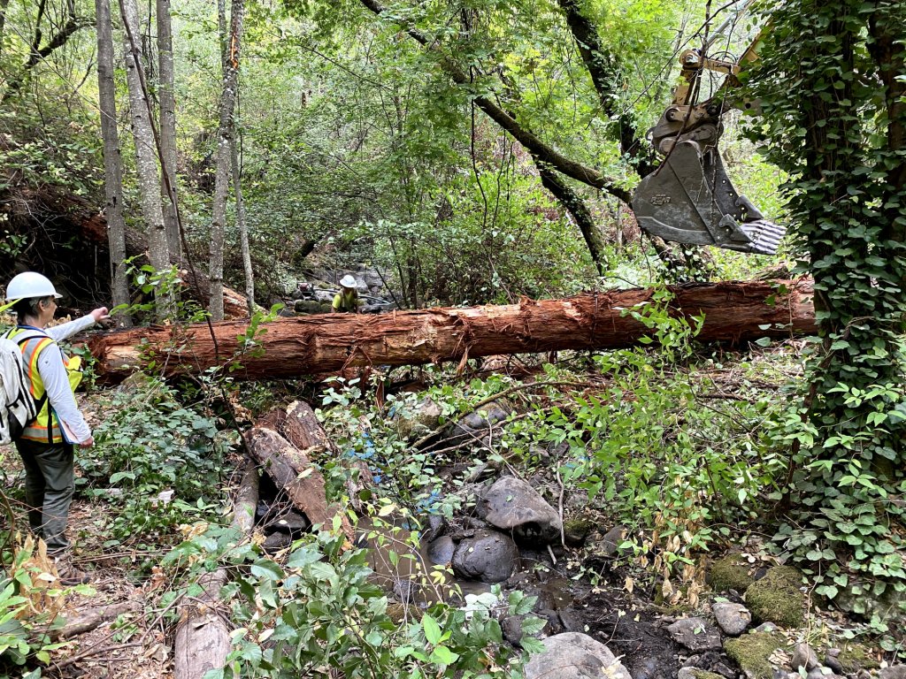
WRA staff conducted biological studies and completed jurisdictional determinations for the site for impacts related to the remediation and restoration. Permit applications were prepared for and approved by the U.S. Army Corps of Engineers, Regional Water Quality Control Board, and San Francisco Bay Conservation and Development Commission.
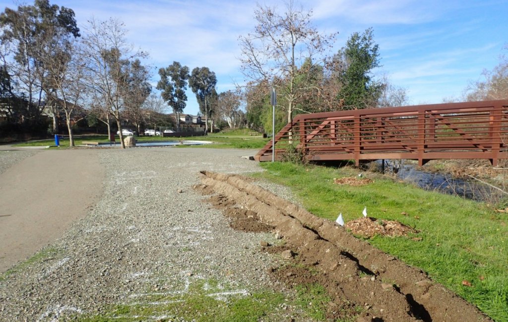
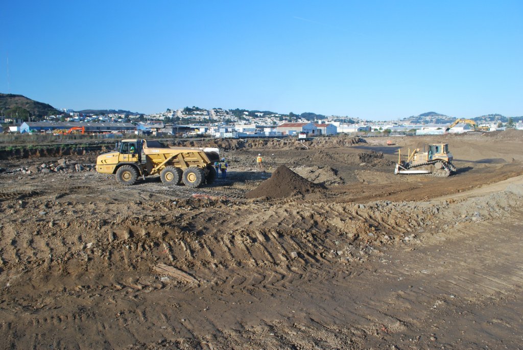
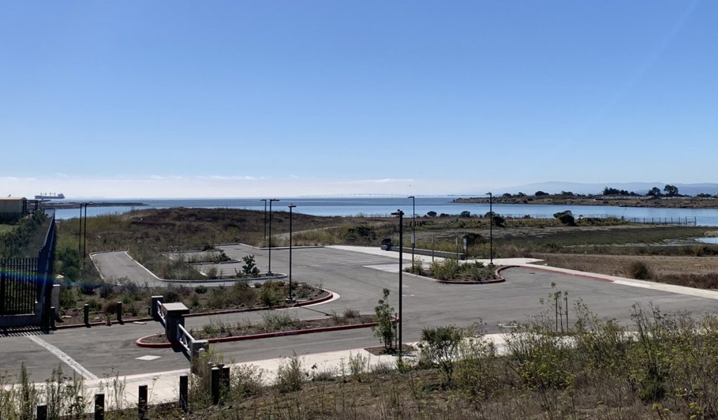
In 2022, construction concluded for the first part of the park improvement phase. WRA served as the lead design consultant for the park improvements which included an improved streetscape and sidewalk, new park entrance, parking area, and San Francisco Bay Trail access.
Impact
Restoration of natural wetland habitat and planning for the first urban state park in California to benefit local residents.
Once Phase I was completed in 2012, the site was transformed from a dilapidated and contaminated site into a fully restored wetland with many new acres of tidal wetlands. The project (North Side Phase I) was recognized by the San Francisco Estuary Partnership’s Outstanding Environmental Projects in 2013.
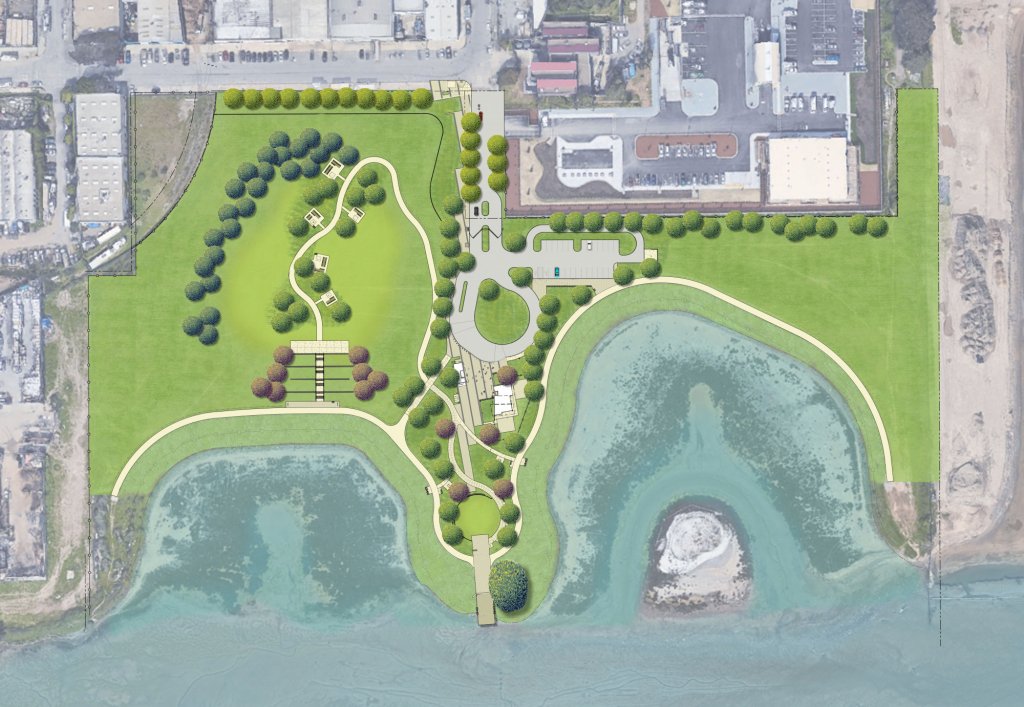
Full build-out of the park will include a future phase to add an education center building, restroom facilities, central plaza, bay overlook deck, and picnic areas.
Project Specifics
Project Partners
Status
Detailed Services
Sea-Level Rise Evaluation
Site Evaluation, Public Outreach Materials
Wetland Delineation, Biological Assessment
Park Master Plan
Public Access Design
Soil Treatability Studies
Construction Estimates and Documents
Environmental Compliance Monitoring
See how we’re making a positive lasting impression.