Our Projects
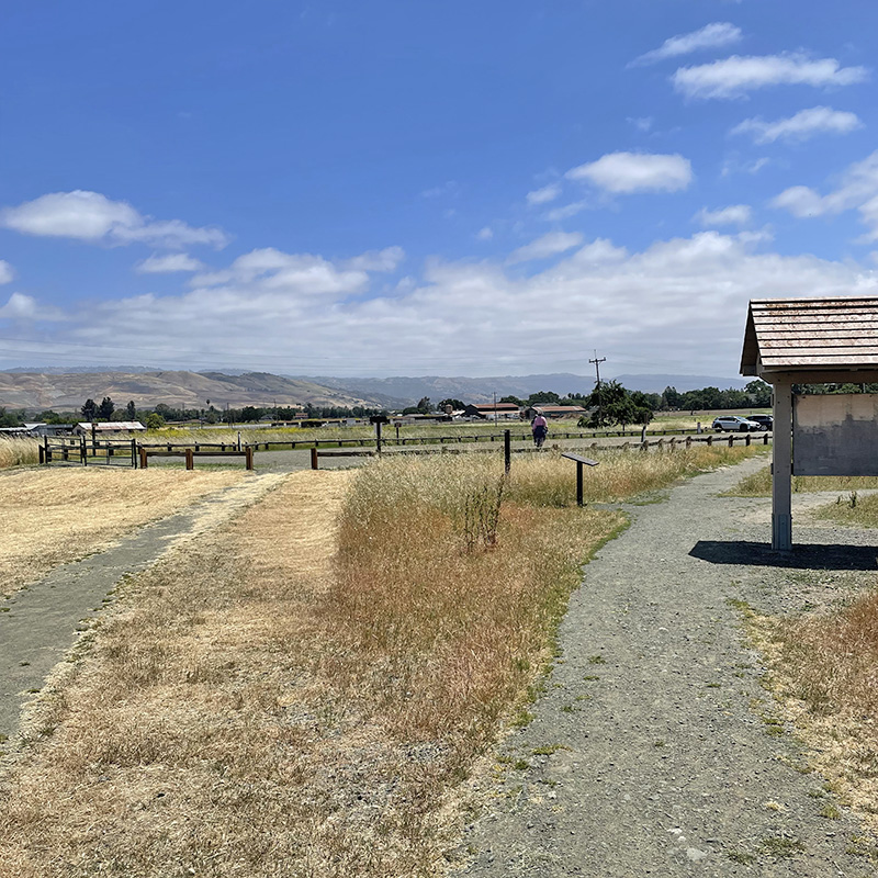
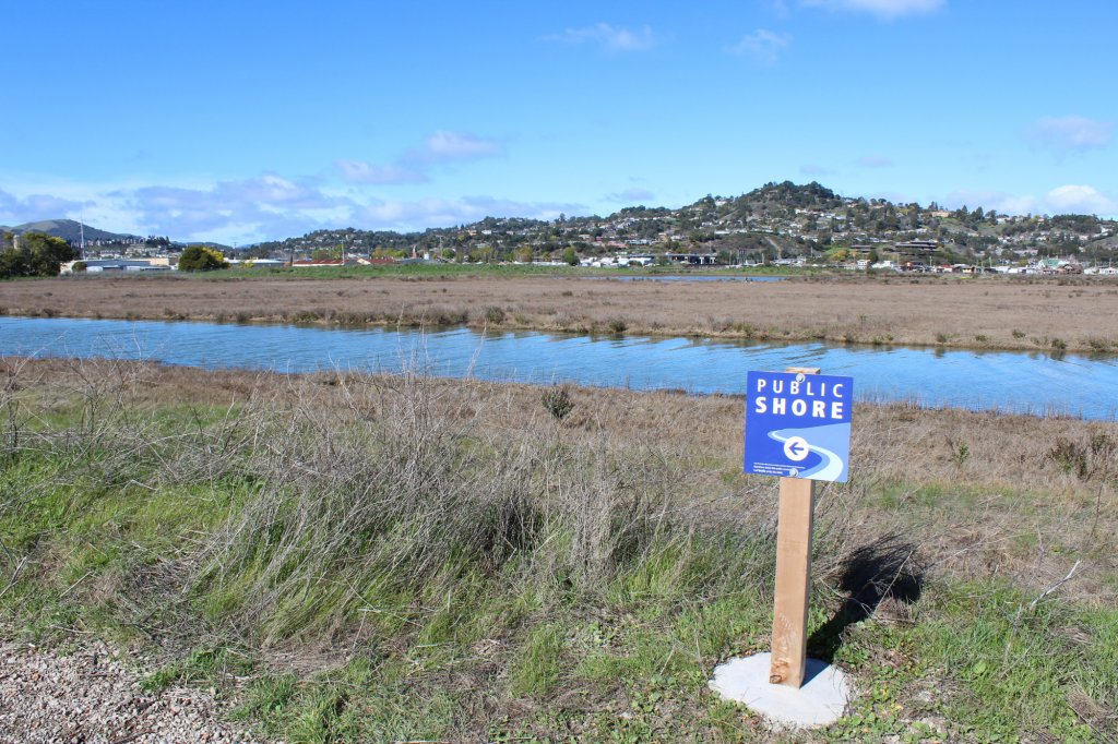
Dotson Family Marsh Restoration and Public Access Project
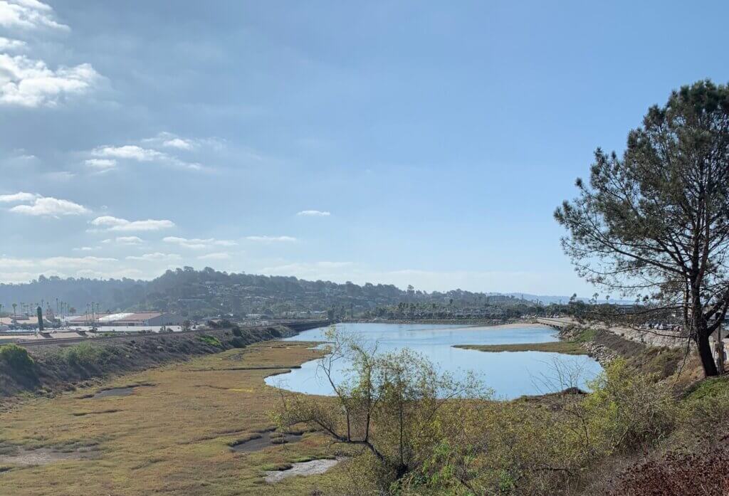
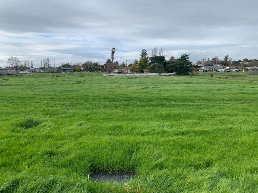
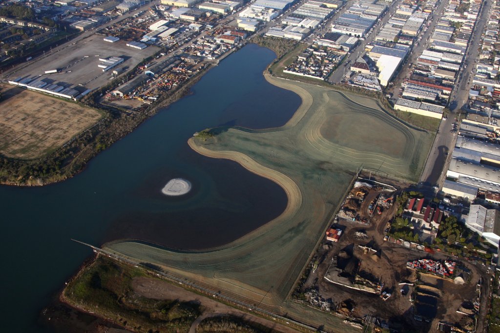
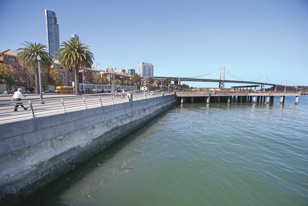
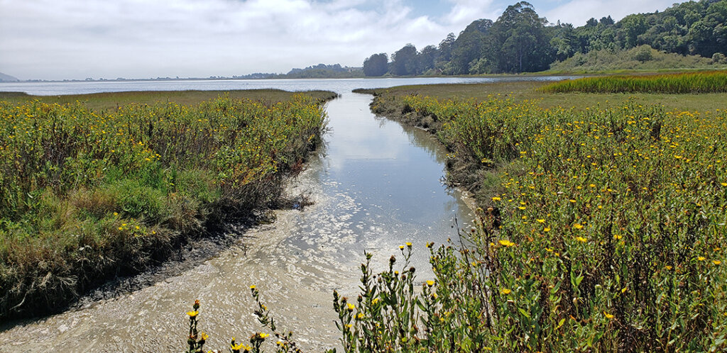
This complex 150-acre shoreline park, including habitat restoration of historic San Francisco Bay wetlands and public access facilities for the local community and visitors, was opened to the public in 2017. The East Bay Regional Park District project restored nearly 30 acres of historically filled tidal marsh habitat. WRA was responsible for the habitat restoration design, biological issues, and permitting.
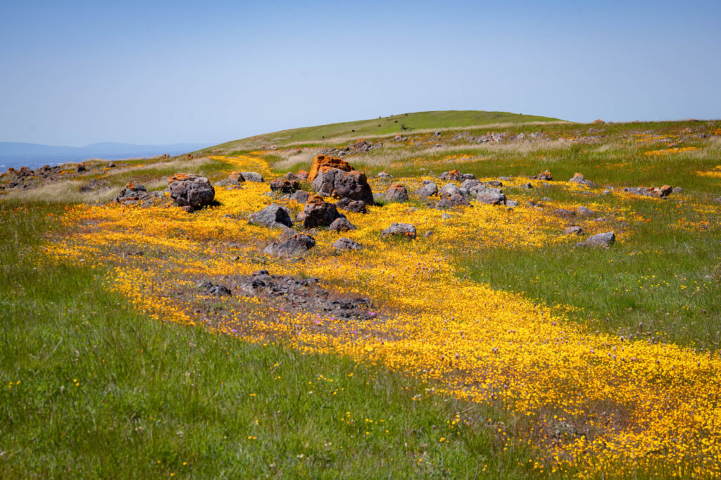
The project was designed to enhance habitat for endangered and threatened tidal marsh species endemic to the region, including the salt marsh harvest mouse, California Ridgway’s rail, and California black rail. The new design also accommodates sea-level rise, allowing sensitive communities to shift with dynamic environmental conditions. The project fills a 1.5-mile gap in the San Francisco Bay Trail. A raised boardwalk integrates public access with protection of sensitive wetland habitat and meets Caltrans standards for design and earthquake safety. A spur trail that connects to the Bay Trail will allow visitors to cross the tidal marsh and access an island lookout and fishing spit.
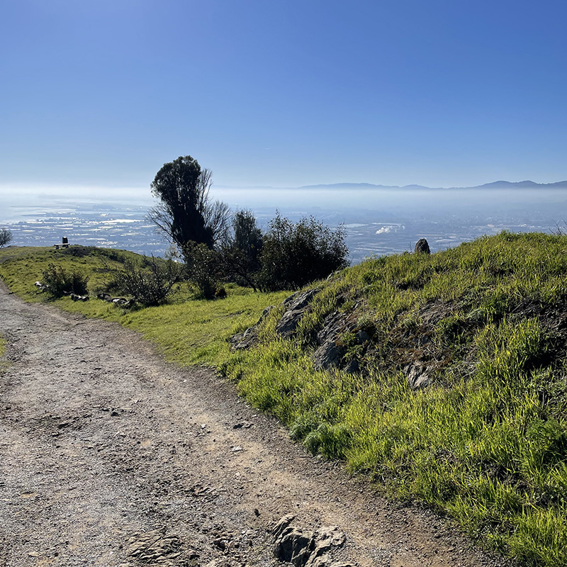
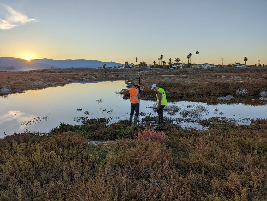
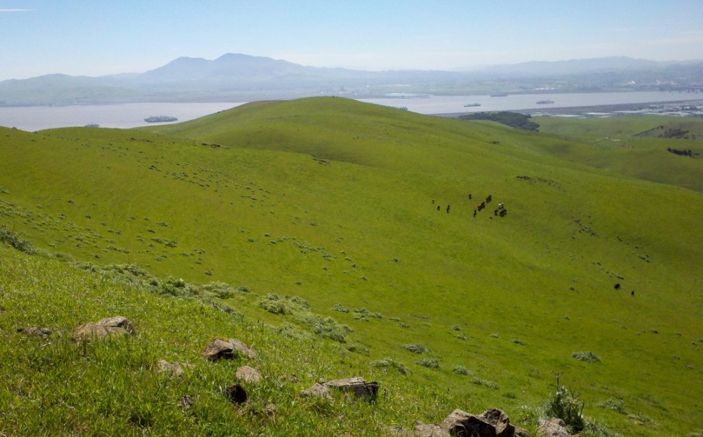
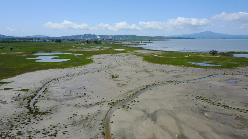
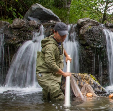
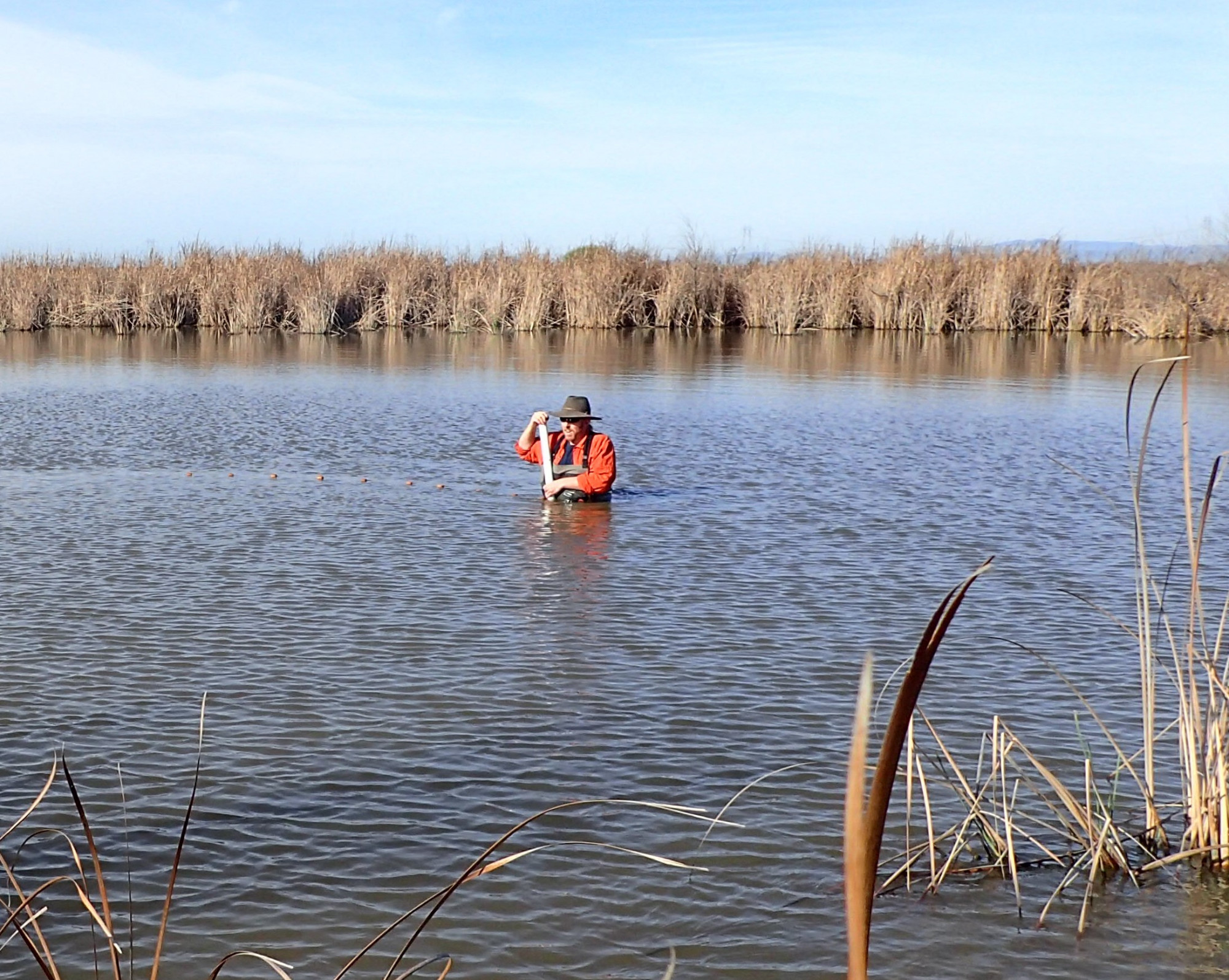
WRA continues to provide long-term vegetation monitoring of the restored habitats using field and UAV (drone) methods to meet regulatory agency requirements. Vegetation community and cover mapping in tidal marsh habitat poses many challenges. To overcome these challenges WRA is using unmanned aerial vehicles (UAV, ‘drones’) to collect high resolution aerial photographs of the site that can be used for vegetation classification via remote sensing software and GIS. Ground-based vegetation community identification is first conducted to collect baseline data and to correlate aerial photo signatures with actual vegetation communities. This data is then used to classify the vegetation into similar categories based on pixel attributes. Once complete, the vegetation classification is imported into ArcGIS and shapefiles are created of the final vegetation map.
Since the drone-based aerial photo is created via orthophotogrammetry, a digital elevation model (DEM) can also be created. The DEM is extremely resolute with centimeter-level vertical accuracy. WRA uses the detailed DEM to assess the formations of secondary tidal sloughs. The change in the DEM from year to year can be used to calculate the area and volume of slough formation over time.
Experts
Geoff Smick
Chief Executive Officer/Principal
Rei Scampavia, PhD
Biologist
Jason Yakich
Wildlife Biologist

Sundaran Gillespie, GISP
GIS Analyst
Nick Brinton-McBean
Fisheries Biologist
Project Specifics
Project Partners
Status
Detailed Services
Biologic Resources Report
Wetland delineation report
Opportunities and Constraints Report for Alternatives Analysis
Resource agency permits
Habitat restoration construction drawings
Sea-level rise analysis
UAV and Spatial Vegetation Monitoring Services
See how we’re making a positive lasting impression.